Properties
We are one of the largest industrial parks in the nation, and we have room for growth. Over 1,500 acres at MidAmerica are ready for your operation to customize—from half an acre to 250 acres. Our Master Plan outlines our plans for future growth and expansion.
We have an extensive inventory of available buildings and greenfield sites that can be built to suit. And thanks to our fast-track process, you can begin building in a matter of days. No red tape. No cumbersome permitting roadblocks. No delays.
We want to see you up and running as efficiently as possible. Financing is available.
Available Properties
Industrial Properties
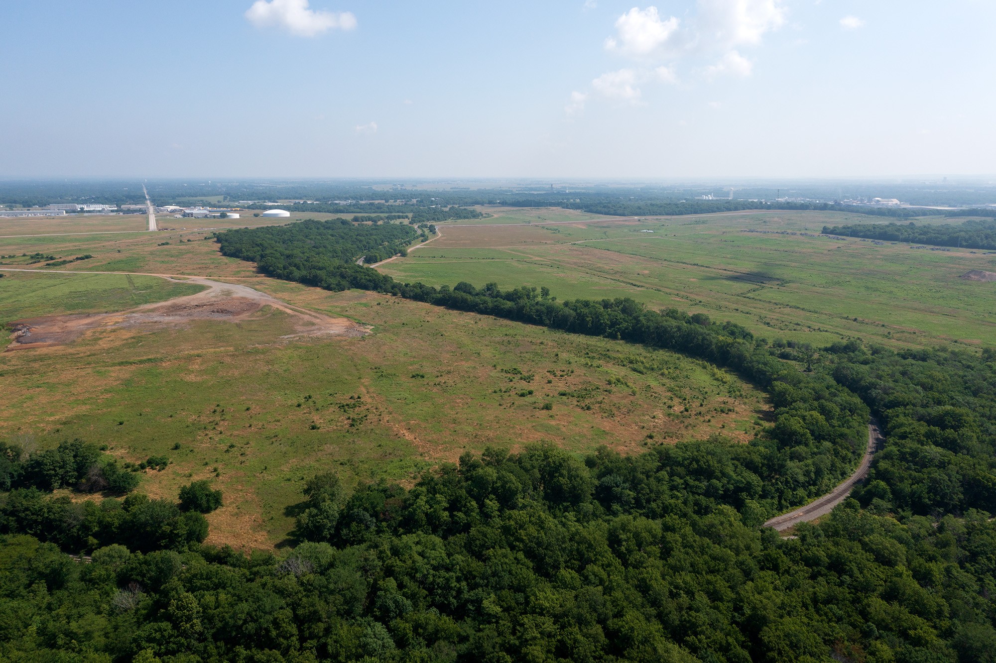
Igloo Valley - 314 Acres * UNAVAILABLE
Total Acerage - 314
Zoned: Industrial
Water: 24" along Northern Boundary
Sewer: 18" Gravity at the Southern Boundary
Rail: Western Boundary
Roadway: Williams Street along Northern Boundary and Rocket Road (Future) along Eastern Boundary
Armin South - 246 Acres
Total Acerage - 246
Zoned: Industrial
Water: 24" along Northern and Western Boundary
Sewer: Not Currently Served, Infrstructure nearby for Extension
Rail: Southern and Eastern Boundary
Roadway: Williams Street along Southern Boundary and Armin Road along Western Boundary
Coyote Hills West - 227 Acres
Total Acerage - 227
Zoned: Industrial
Water: 24" along Northern Boundary
Sewer: 18" Gravity along Northern Boundary
Rail: Not Served
Roadway: S. Patrol Road along Northern Boundary and ATW Access Road (Future) along Western Boundary
Armin NE Development Area - 118 Acres
Total Acerage - 118
Zoned: Industrial
Water: 24" along Southern Boundary, 30" along Western Boundary
Sewer: 10" Gravity on Western Side (Mid-point)
Rail: along Eastern Boundary
Roadway: Zarrow Road (Future 4-lane) along Western Boundary, Williams Street along Southern Boundary and an existing Access Road in the Northwest Corner.
Armin West - 113 Acres
Total Acerage - 113
Zoned: Industrial
Water: 24" along Eastern Boundary
Sewer: 16" gravity on Eastern Boundary
Rail: along western boundary
Roadway: Armin Road (Future 4-lane) along Eastern Boundary, Williams Street (Future 4-Lane) along Northern Boundary
Airport Industrial Development Area - 103 Acres
Total Acerage - 103
Zoned: Light Industrial
Water: 8" Northeast of site
Sewer: 8" Gravity Northwest of site
Rail: not served
Roadway: Webb Street Extension Necessary
Special Site Advantage: Direct Access to Airfield Taxiway
Campus Site Development Area - 87 Acres
Total Acerage - 87
Zoned: Office / Research
Water: 10" along Northern Boundary
Sewer: 8" Gravity along Northern Boundary
Rail: along Southern Boundary
Roadway: SH 69A along Northern Boundary
Armin North Development Area - 83 Acres
Total Acerage - 83
Zoned: Industrial
Water: 30" along Northern Boundary, 12" along Western Boundary and 30" along Eastern Boundary
Sewer: 18" Gravity along Western Boundary and 12" Gravity through site.
Rail: Not Served
Roadway: Armin Road along Western Boundary, Zarrow Road (future 4-Lane) along Eastern Boundary, Main Street along Northern Boundary and Williams Street (Future 4-Lane) along Southern Boundary.
Special Site Features: This site can be broken up in to 52-Acre, 23-Acre and an 8-Acre Parcels
Superman Site- 73 Acres
Total Acerage - 73
Zoned: Industrial
Water: 30" along Northern Boundary and 12" along Eastern Boundary
Sewer: 18" Gravity on Northern and Eastern Boundary
Rail: along western boundary
Roadway: Armin Road along Eastern Boundary and Main Street along Northern Boundary
Nordam Development Area - 49 Acres
Total Acerage - 49
Zoned: Industrial
Water: 12" Waterline (Mayes Co. RWD) along Eastern Boundary
Sewer: Not Currently Served. Infrastructure nearby for Extension
Rail: Not Served
Roadway: SH 412B along Western Boundary
Igloo North - 49 Acres
Total Acerage - 49
Zoned: Industrial
Water: 24" along Southern Boundary
Sewer: Not Currently Served, Infrstructure nearby for Extension
Rail: Western Boundary
Roadway: Williams Street along Southern Boundary and Rocket Road (Future) along Eastern Boundary
NE Hunt Development Area - 43 Acres
Total Acerage - 43
Zoned: Industrial
Water: 10" along Northern Boundary
Sewer: 8" Gravity along Northern Boundary and 8: at the Southwestern Corner
Rail: along Western Boundary
Roadway: 4th Street along Northern Boundary and Horkey Street (Extension Required) from the Northwest Corner
Dreamer Main Site - 42 Acres
Total Acerage - 42
Zoned: Industrial
Water: Not Currently Served. Infrastructure nearby for Extension
Sewer: Not Currently Served. Infrastructure nearby for Extension
Rail: Northeast Corner of Site
Roadway: Rocket Road (Future) along Western Boundary and 6th Street (Future) Southeast Corner of Site
Beaver Pond Development Area - 39 Acres
Total Acerage - 39
Zoned: Industrial
Water: 24" along Southern Boundary
Sewer:18" along Southern Boundary
Rail: Northern Boundary
Roadway: S. Patrol Road along Western Boundary
Dreamer South - 39 Acres
Total Acerage - 39
Zoned: Industrial
Water: 12" waterline along Eastern Boundary
Sewer: Not Currently Served. Infrastructure nearby for Extension
Rail: Not Served
Roadway: Rocket Road (Future) along Western Boundary
WIlliams Development Area - 36 Acres
Total Acerage - 36
Zoned: Industrial / Office
Water: 10" along Northern Boundary
Sewer: 8" Gravity on Northern Boundary
Rail: along Southern Boundary
Roadway: SH 69A along Northern Boundary
IFF North - 30 Acres
Total Acerage - 30
Zoned: Industrial
Water: 24" Waterline along Northern Boundary, 8" along Western Boundary and a 20" along Eastern Boundary
Sewer: 24" Gravity along the Northern Bounday
Rail: Along Western Boundary
Roadway: Williams Street along Northern Boundary and 13th Street along Southern Boundary
IFF South - 28 Acres
Total Acerage - 28
Zoned: Industrial
Water: 12" waterline along Eastern Boundary
Sewer: Not Currently Served. Infrastructure nearby for Extension
Rail: Not Served
Roadway: SH 412B along Eastern Boundary and Lodge Road along Northern Boundary
Rocket Road North - 24 Acres
Total Acerage - 24
Zoned: Industrial
Water: Not Currently Served. Infrastructure Nearby for Extension
Sewer: Not Currently Served. Infrastructure Nearby for Extension
Rail: along Western and Eastern Boundary
Roadway: Currently Not Severed, Extension Possible
North 2nd Street Developmnet Area - 22 Acres
Total Acerage - 22
Zoned: Industrial
Water: 24" along Southern Boundary, 30" along Western Boundary
Sewer: 8" Gravity at Southeast Corner
Rail: along Western Boundary
Roadway: 2nd Street along Southern Boundary
Building 630 * UNAVAILABLE
Zoned: Industrial
Water: 12" along Eastern Boundary and 30" along Southern Boundary
Sewer: 18" Gravity along Southern Boundarya and 12" Gravity along Eastern Boundary
Rail: Not Served
Roadway: Armin Road along Eastern Boundary and Main Street along Southern Boundary
274,000 S.F. Building with 40 Dock Doors
Yarn Mill Commercial Development Area - 20 Acres
Total Acerage - 20
Zoned: Commercial (Master Plan Available)
Water: 8" along Western Boundary
Sewer: 8" gravity on Western Boundary
Roadway: Webb Street on Western Boundary, SH 69A on Northern Boundary
Dreamer East - 20 Acres
Total Acerage - 20
Zoned: Industrial
Water: 8" Waterline along Western Boundary and 16" Waterline along the Southern Boundary
Sewer: 8" Gravity along eastern boundary
Rail: Not Served
Roadway: Served by 6th Street - Improvements will be required.
Industrial Development Area - 18 Acres
Total Acerage - 18
Zoned: Industrial
Water: 12" along Eastern Boundary
Sewer: 10" Gravity through site
Roadway: Webb Street along Eastern Boundary, US 69 along Western Boundary (Right-in / Right-out only)
Building 625 - 17 Acres
Total Building Size 100,753 SF
Building Dimensions 200' x 500'
Exterior Concrete Tilt-Wall Panels
Year Built 2020
Floor Type 6" Reinforced Concrete Slab
Eave Height 33'
Building 625 FlyerDreamer North - 14 Acres
Total Acerage - 14
Zoned: Industrial
Water: Not Currently Served. Infrastructure nearby for Extension
Sewer: Not Currently Served. Infrastructure nearby for Extension
Rail: Along Northern Boundary
Roadway: Rocket Road (Future) along Western Boundary
COE Development Area - 11 Acres
Total Acerage - 11
Zoned: Office / Education
Water: 24" along Southern Boundary, 30" along Western Boundary
Sewer: 8" Gravity along Southern Boundary
Rail: along Eastern Boundary
Roadway: SH 69A along Northern Boundary, Redden Street along Western Boundary and 1st Street along Southern Boundary
Building 629 - Mid-South Maintenance - 5 Acres
Total Acerage - 5
Zoned: Industrial
Water: 12" along Northern Boundary
Sewer: 8" Gravity along Northern Boundary
Rail: Southern Boundary
Roadway: SH 69A along Northern Boundary and Zarrow Road along Western Boundary
Existing 14,000 S.F. Building with Cranes
Building 628 - Rex Alexander - 5 Acres
Total Acerage - 5
Zoned: Industrial
Water: 12" along Northern Boundary
Sewer: 8" Gravity along Northern Boundary
Rail: Southern Boundary
Roadway: SH 69A along Northern Boundary
Existing 40,000 S.F. Building with 2 Dock Door
Dreamer Southeast - 5 Acres
Total Acerage - 5
Zoned: Industrial
Water: 6" Waterline along Southern Boundary
Sewer: Not Currently Served. Infrastructure nearby for Extension
Rail: Not Served
Roadway: 6th Street (Future) along Southern Boundary
Rocket Road East - 5 Acres
Total Acerage - 5
Zoned: Industrial
Water: Not Currently Served. Infrastructure nearby for Extension
Sewer: Not Currently Served. Infrastructure nearby for Extension
Rail: Not Served
Roadway: Rocket Road (Future) along Western Boundary
Commercial Outparcel - 3 Acres
Total Acerage - 3
Zoned: Commercial
Water: Not Currently Served. Infrastructure is nearby for Extension
Sewer: 12" Gravity at Southeast Corner
Rail: Not Served
Roadway: Armin Road along Eastern Boundary
Commercial Properties
The District Commercial Area - 24 Acres
Total Acerage - 24
Zoned: Commercial
Water: 12" along southern boundary
Sewer: 8" gravity northern boundary
Rail: not served
Roadway: CR W. 530 along southern boundary. The District Blvd through site near east end.
WestEdge Commercial Park - 1.25 - 4.00 Acre Tracts
1.25 - 4.00 Acre Tracts Available
Zoned: Commercial
Water: 8" along Eastern boundary
Sewer: 8" Gravity on Eastern boundary
Roadway: Webb Street on Eastern Boundary, US 69 on Western Boundary (Right-in/Right-out only)
Lagoon Commercial Development Area - 7 Acres
Total Acerage - 7
Zoned: Commercial
Water: 12" along Western Boundary
Sewer: 10" gravity at Northeast Corner
Roadway: Williams Street (Future 4-lane) along Northern Boundary, US 69 Frontage Road (Future) Eastern boundary
2nd Street Commercial - 1.5 Acres
Total Acerage - 1.5
Zoned: Commercial
Water: 8" along southern boundary
Sewer: 8" gravity northern boundary
Rail: not served
Roadway: 2nd Street along southern boundary. 1st Sreet (future 2-lane) along northern boundary
C&M Supply Commercial Site - 0.75 Acres
Total Acerage - 0.75
Zoned: Commercial
Water: 8" along Eastern Boundary
Sewer: 8" Gravity along Southern Boundary
Rail: Not Served
Roadway: SH 412B on Eastern Boundary, 2nd Street on Northern Boundary, Horkey Street on Southern Boundary
Residential Properties
The Estates at Ridgeview - 422 Acres
Total Acerage - 422
Zoned: Residential (Single Family)
Water: 12" along Western Boundary (Mayes Co. RWD)
Sewer: Not Currently Served
Roadway: SH 412B just off of Western Boundary
Westview Development Area - 212 Acres
Total Acerage - 212
Zoned: Residential (Single Family / Multifamily)
Water: 12" along Southern Boundary Mayes Co. RWD)
Sewer: Not Currently Served, Infrstructure nearby for Extension
Rail: Eastern Boundary
Roadway: Main Street (County Road 540 W) along Southern Boundary, County Road 430 along western Boundary
Northwood Residential - 157 Acres
Total Acerage - 157
Zoned: Single Family Residential
Water: 8" along Southern Boundary (Mayes Co. RWD)
Sewer: Proposed Lift Station nearby
Roadway: Mayes County Rd. 530 along Southern Boundary
Lakeview Residential Development Area - 134 Acres
Total Acerage - 134
Zoned: Residential (Single Family / Multifamily)
Water: along Northern Boundary (Mayes Co. RWD)
Sewer: Not Currently Served, Infrstructure nearby for Extension
Roadway: SH 20 along Northern Boundary, County Road 500 along Southern Boundary and County Road 439 along Eastern Boundary
The District Residential Area - 104 Acres
Total Acerage - 104
Zoned: Residential
Water: 8" along The District Blvd.
Sewer: 8" gravity to center of development
Rail: not served
Roadway: The District Blvd through site. CR. W530 along southern boundary. Elliott Road along eastern boundary
Oakwood Residential Area - 58 Acres
Total Acerage - 58
Zoned: Residential (Single or Multifamily)
Water: 8" along eastern boundary (Pryor)
Sewer: 8" gravity at Northeast Corner (Pryor)
Roadway: Oakwood Street (Mayes County)
NE Elliott Property - 30 Acres
Total Acerage - 30
Zoned: Residential (Single or Multifamily, PArtially Commercial)
Water: 16" along western boundary (Pryor)
Sewer: Proposed Lift Station nearby
Roadway: Elliott Street on Western Boundary, County Road 530 on Southern Boundary